
Bunster Hill - Peak District Walk
Friday 23rd June 2006
A walk that started on the quieter side of Dove Dale and then followed a high route around the dale avoiding most of the crowds, which are starting to build up now the holiday season is approaching. For the most part it was warm and pleasant walking as the clouds meant the sun wasn't too strong. If you don't like cows this would be a walk to avoid as I lost count of the number of fields of cows I walked through in the final third of the walk.
Start: Milldale car park (SK 136 548)
Route: Milldale - Ilam Rock - Bunster Hill - Dove Dale - Lover's Leap - Moor Barn - Boston Grange Farm - Milldale
Distance: 8 miles Ascent: 594 metres Time Taken: 5 hrs 30 mins
Weather: Warm with high cloud and developing patches of blue sky.
Pub Visited: None Ale Drunk: None

Shining Tor is visible as I approach the hamlet of Milldale.
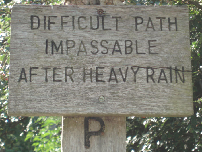
Take it seriously. This short section of path from Milldale to Hurts Wood took me over an hour as the path was
either steep, eroded away, in the river, covered in nettles and weeds or a mixture of any or all of them. I'm not
very tall and it was a case of not only checking where my feet were going but also where my arms were going
to avoid the tall nettles.

Ravens Tor, with a short easy section of the path ahead of me.

It was easy to get to the edge of the river Dove.

Dove Holes across the river.

Ilam from Bunster Hill.

Thorpe Cloud from Bunster Hill.

The way down Bunster Hill, it's a lot easier than it looks.

The start of Dove Dale with Thorpe Cloud to the right.

Dove Dale.

The stepping stones, just before the school party on a geography field trip headed across them

The river is very clear at the moment.

A view of Dove Dale from Boston Grange Farm.

A similar view of Wolfscote Dale, from the approach to Milldale.

Milldale, it looks a long way down.
All pictures copyright © Peak Walker 2006-2023